
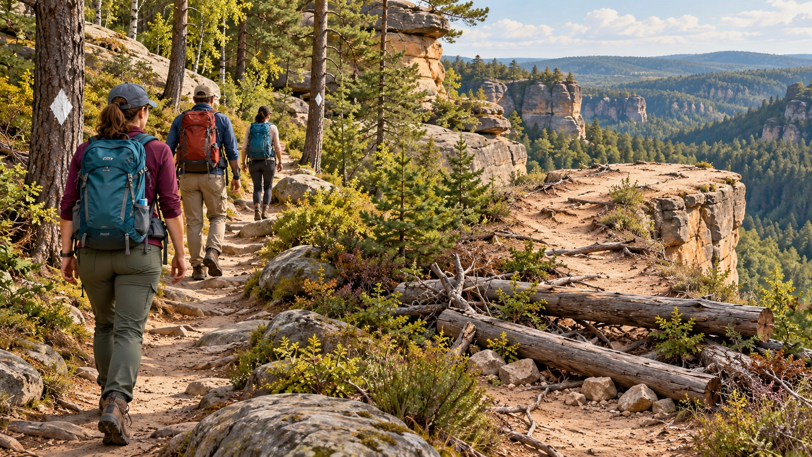
The official Osborne Bend Loop is a 7-mile Forest Service trail in the Red River Gorge. Online route descriptions often add an “Eagle’s Nest” or Eagle Point overlook using user-created paths, but the Forest Service’s official trail list identifies Osborne Bend Loop as Trail 240 and does not list an Eagle’s Nest trail.
This guide covers the official loop. It does not provide turn-by-turn directions to an unmarked cliff route. In the Red River Gorge, unofficial paths can cause navigation errors, erosion, resource damage, and dangerous exposure near cliff edges.
Official route facts
- Trail: Osborne Bend Loop, Forest Service Trail 240.
- Official distance: 7 miles.
- Managing agency: Daniel Boone National Forest.
- Trailhead area: Osborne Bend near Copperas Creek access and KY 715.
- Terrain: Rugged Red River Gorge hiking with elevation change, natural surfaces, and cliff hazards.
- Navigation: Follow official signs and white diamond-shaped trail markers.
Why the name causes confusion
The old article title combines Osborne Bend with Eagle’s Nest as if both were official components of one maintained loop. The Forest Service Red River Gorge map and trail list identifies Osborne Bend Loop at 7 miles but does not list Eagle’s Nest as a numbered trail.
The Forest Service warns that user-developed trails are not part of its official system and can lead hikers astray. If the marked route and an app disagree, follow current agency signs and the official map. Retrace your steps when uncertain rather than following a worn path toward a cliff.
Current alert to understand
The Forest Service currently lists the Red River Gorge suspension footbridge near KY 715 as impassable after damage from a falling tree. Visitors are told not to attempt to use it. Even if a planned Osborne Bend outing does not require that bridge, this alert can affect nearby route combinations and online itineraries.
Read the Daniel Boone National Forest alerts immediately before the trip. Storms, road conditions, fire danger, and seasonal closures can change access.
How demanding is the loop?
Seven miles in the gorge can take much longer than seven paved miles. Expect hills, roots, rocks, mud, stream conditions, and slower navigation. The Forest Service describes many Red River Gorge trails as strenuous because of rugged terrain.
Begin early, carry water and food, and set a turnaround plan based on daylight. Do not depend on mobile coverage. Download the official map and tell someone where you are going.
Cliff safety
Falls from cliffs in the Red River Gorge cause serious injuries and deaths. Stay well back from edges, especially on wet rock, in wind, or when leaves hide the ground. Do not approach an exposed overlook for a photograph. Keep children and pets under close control.
Alcohol and cliff terrain are a dangerous combination. Save any drinking for after the group has finished driving and hiking.
Parking and access
The Forest Service identifies Copperas Canoe Launch near the Osborne Bend Trailhead as access to the lower Red Wild and Scenic River. Use designated parking and do not block roads, gates, or emergency access. A crowded pull-off is not permission to park outside the designated area.
Confirm the route to the trailhead on an official map before entering the gorge. Narrow roads, one-lane sections, and limited service make last-minute navigation difficult.
Overnight rules
A recreation permit is required for overnight camping in the Red River Gorge Geological Area. Vehicles in designated areas must display the required permit between 10 p.m. and 6 a.m. The Forest Service also prohibits camping within 300 feet of developed roads and trails except at designated sites, within 600 feet of Gray’s Arch, and in other protected locations described in current orders.
A day hike does not require turning the route into an unauthorized campsite. Check the current permit and camping rules if the car will remain after 10 p.m.
What to carry
- Official map and offline navigation.
- Water, food, and weather layers.
- Footwear suitable for rock, roots, and mud.
- First aid, whistle, and a charged backup battery.
- A headlamp for emergencies—not as a plan to start late.
The responsible route choice
Hike Trail 240 as the maintained Osborne Bend Loop and leave unmarked overlook paths out of the itinerary. That choice gives readers a verifiable route, protects the landscape, and reduces the chance that a search for a social-media viewpoint becomes a rescue situation.
Official sources
- USDA Forest Service Red River Gorge map, trails, and permit rules
- Daniel Boone National Forest alerts
- Forest Service Copperas Creek access information


