

Kentucky Outdoor Trip Planning: Safety, Weather, and Trails
A safe Kentucky outdoor trip begins before the trailhead. Distance alone does not describe difficulty: cliffs, heat, storms, hunting seasons, water crossings, weak cellular service, and changing closures can turn a short outing into a serious problem.
Use the land manager’s current information
Find the map, alerts, rules, hours, fees, and closures from the agency that manages the property. That may be Kentucky State Parks, the National Park Service, the U.S. Forest Service, a city, or another authority. Crowd-sourced apps can help with discovery, but they do not override official boundaries or closures.
Save the official map offline or carry a printed copy. A phone may lose service, overheat, become wet, or exhaust its battery.
Match the route to the group
Compare round-trip distance, elevation change, route type, surface, water crossings, stairs, exposure, and navigation. Plan for the least-experienced person. A short cliff trail may require more care than a longer paved greenway.
“Easy” is not an accessibility standard. Ask about parking, grade, cross-slope, surface firmness, step-free routes, restrooms, seating, bridge widths, and current construction. Check whether a mobility device or service animal faces site-specific restrictions.
Check weather, water, and daylight
Review the forecast before leaving and again near the destination. Kentucky heat and humidity increase water needs; storms bring lightning, falling limbs, slick rock, and flash-flood risk. Never enter a flooded crossing or assume water depth and speed are unchanged from an earlier visit.
Know sunset time and carry a headlamp even on a day trip. Set a turn-around time before starting.
Carry essentials
- Water and food appropriate to the route and weather
- Official map, compass knowledge, or reliable offline navigation
- Weather layers, rain protection, sun and insect protection
- First-aid supplies and required medication
- Headlamp, whistle, charged phone, and backup power
- Identification, permits, and emergency contact information
Leave a trip plan
Tell a trusted person the destination, route, vehicle, group members, start time, expected return, and when to request help. Update that person if the plan changes. Do not rely on a public social-media post as an emergency plan.
Respect high-risk places
Stay behind barriers and away from unprotected edges. Wear a properly fitted life jacket for boating. Give wildlife space and never handle snakes or young animals. Check hunting seasons, blaze-orange guidance, fire restrictions, pet rules, cave closures, and camping permits for the specific property.
Do not move rocks, plants, artifacts, cave formations, or trail markers. Pack out trash and dispose of human waste under the site’s rules.
Turn around early
Turn back for approaching storms, rising water, injury, unexpected ice, lost markers, dwindling daylight, or exhaustion. Reaching a viewpoint is optional; returning safely is the goal. If lost, stop, assess the map and surroundings, conserve battery, and call for help when appropriate instead of wandering farther.
Prepare the vehicle and report problems
Remote trailheads may have rough roads and no services. Start with adequate fuel, water, and weather supplies. Park only in designated areas and never block gates or emergency access.
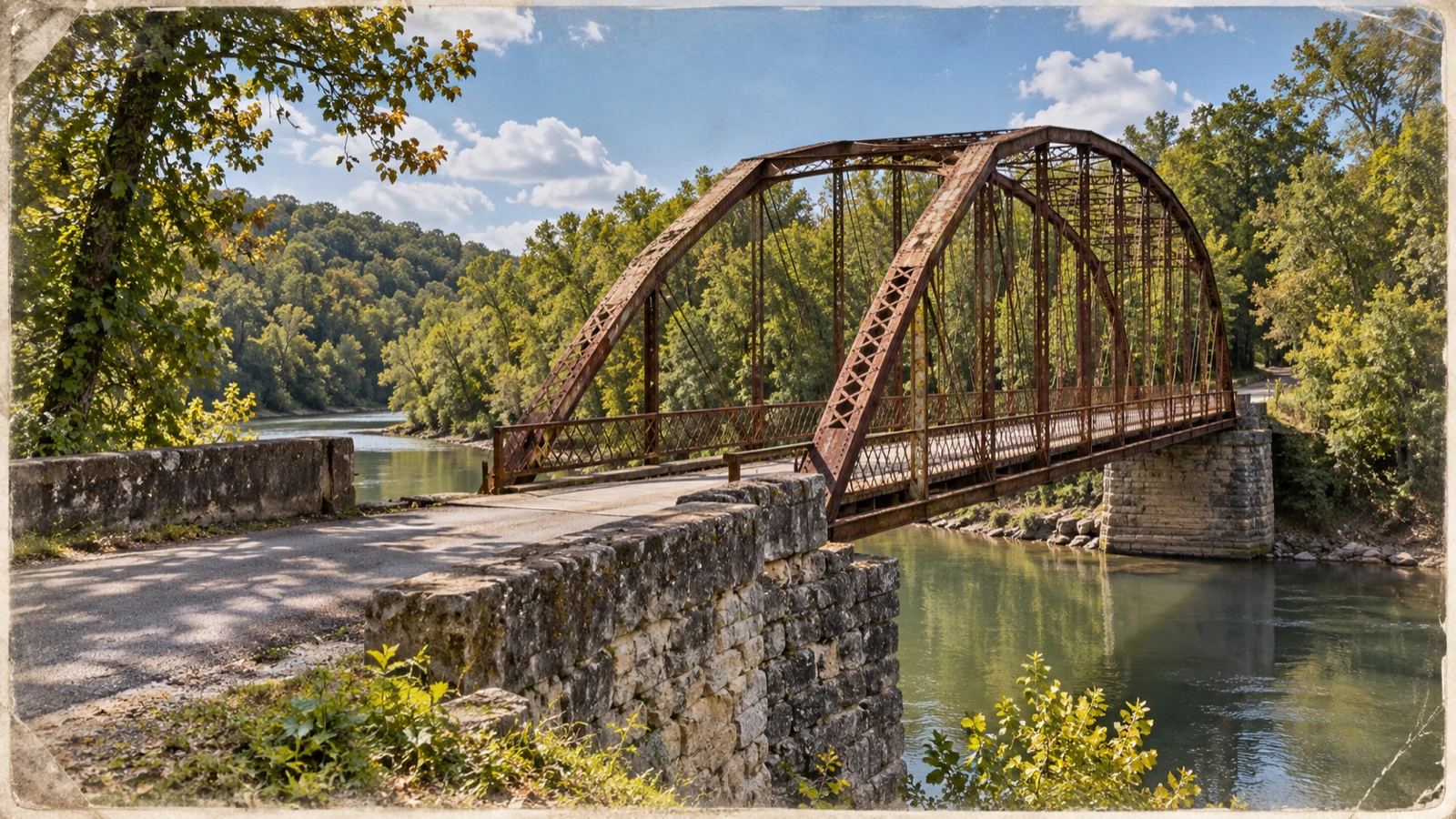
For an emergency, call 911 when service is available. Report a damaged bridge, fallen tree, sign problem, or trail issue directly to the land manager with the trail name, location, time, and photographs if they can be taken safely.
For destination-specific ideas, browse Kantuckee’s Kentucky hiking guides and camping guides, then recheck the managing agency before departure.
Official planning sources

About the Author: Kantuckee


